3D Data Acquisition
3D data acquisition focuses on all modern techniques of surveying: survey engineering, remote sensing, photogrammetry and hydrography.
News in the spotlight

On Wednesday, 3 September 2025, Tianchen Zheng successfully defended her doctoral thesis: ‘“Landscape perception through the lens of language: Approaches and Applications”. Supervisors: Prof. dr. Tim Van de Voorde (Ghent University), Prof. dr. Veerle Van Eetvelde (Ghent University) Examination committee: Prof. Alain De Wulf (Chair) (Ghent University), Prof. dr. Haosheng Huang (Ghent University), Dr. Alex Levering (Vrije Universiteit Amsterdam), Prof. dr. Ross Purves (University of Zurich), Prof. dr. Nico Van de Weghe (Ghent University).
Congratulations Tianchen!
Research themes
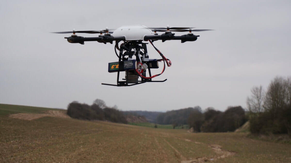
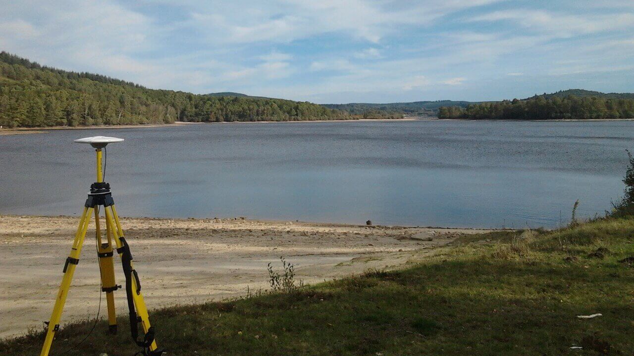
For the acquisition of terrestrial data, research is performed on a complete range of topographical and photogrammetrical instruments: levelling instruments, robotic total stations, digital cameras for terrestrial photogrammetry, different GNSS receivers, terrestrial laser scanners, mobile mapping,...
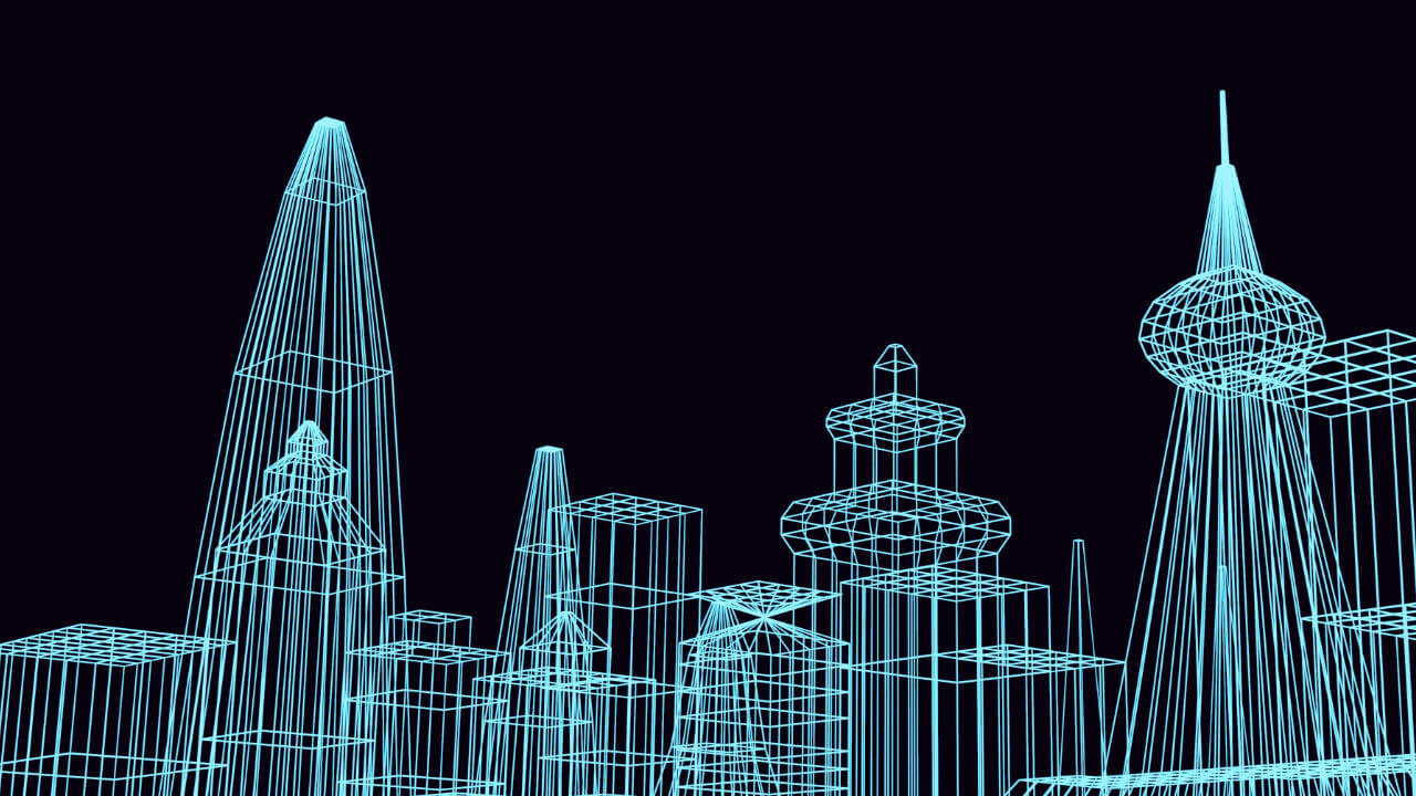
The research activities in the field of remote sensing and photogrammetry focus on different applications with satellite images and aerial photographs. These are processed to create digital elevation models, ortho-photos and 3D visualizations.
The main research topics in the field of bathymetry are real-time positioning, autonomous underwater vehicles, computational geometry, triangulation algorithms and filtering techniques of 3D data.
Prof. dr. ir. Alain De Wulf
Prof. dr. Tim Van de Voorde
PhD research
Project research in the spotlight